
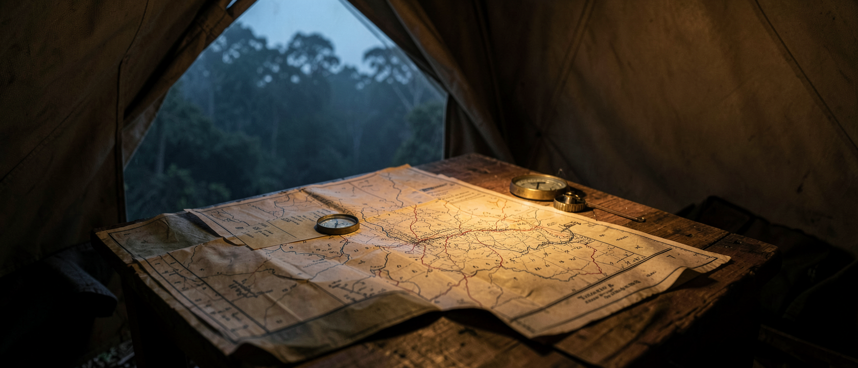
A British officer in the Burmese jungle in 1943 did not need an ambush to lose an entire day of an operation deep behind Japanese lines. According to one unit’s own war diary, a map managed that on its own.
Burma had fallen to Japanese forces in March 1942, and British troops retreated roughly 1,000 miles (1,609 km) to India. Months later, a new formation took shape: the Chindits, a multiethnic brigade of British, Burmese, Nepalese and Indian soldiers, joined by African troops in later campaigns. In February 1943, around 3,000 of them, organized as the 77th Infantry Brigade and including the 13th King’s (Liverpool) Regiment, the 3/2nd Ghurka Rifles and the 142 Commando Company, crossed back into Japanese-held territory on what became known as Operation Longcloth. The National Archives in the United Kingdom holds the map they carried with them.
A map with no author
The file is catalogued as CAB 106/46, titled “Secret map of operations in North Burma” and dated 1943. The surviving pages carry the ordinary apparatus of a special-forces operation: railway lines flagged for demolition, river courses, demarcated and undemarcated boundaries, supply-dropping zones, air support and bombing areas, engagement points, natural landing grounds, the routes columns took into Burma, the dispersal routes out, and air link routes.
Nowhere in the record is the compiler named. No accompanying memo states who drew the map, who printed it, or on whose authority it was issued to the men who carried it into the jungle.
April 11, 1943
The war diary appendix for the 13th King’s (Liverpool) Regiment, part of the 77th Brigade on Operation Longcloth, records a single line about that day: the whole of it was “completely wasted by inaccurate map reading.” The same appendix separately notes a fault in the compasses the column carried, the luminous paint marking the dial tended to fall out of the grooves in the lid.
This is one entry, in one unit’s diary, describing one day. The record does not say what the column was trying to reach, how far off course it strayed, or what the lost day cost the wider operation.
Why navigation wasn’t incidental
Chindit columns were built to move independently through dense jungle, deliberately splitting into smaller groups to avoid detection by Japanese patrols. That structure is documented across the operational record, not just in the King’s Regiment diary. It meant a column that lost its bearings could not simply radio a neighboring unit for a fix, or expect to be found and corrected. Map and compass reliability was not a convenience in this kind of warfare. It was close to the only thing keeping a column on its plan.
What the documents, taken together, support
CAB 106/46 and the Operation Longcloth war diaries are archival documents. They are not the product of a formal inquiry or board of review, and no such board examined Chindit map and compass performance in 1943. Taken together, though, the map’s unexplained origins, the King’s Regiment entry, and the documented pattern of independent, hard-to-correct columns support a reading that navigation equipment issued in 1943 was inadequate to jungle conditions, and that it cost time in the field at least once. Supporting a reading is not the same as proving a case. No formal verdict on equipment adequacy appears anywhere in the file.
Calvert, a year later, saying something else
In 1944, after the second Chindit operation, Michael Calvert, then commanding the 142 Commando Company, wrote a report of his own. Calvert stated that the standard half-inch maps issued to troops were markedly worse than the maps British forces sometimes captured from the Japanese, inferior in printing, paper and color detail. He also wrote that compasses were in short supply, and that he considered a compass as essential to a soldier in the jungle as his boots.
That is Calvert’s own assessment, written a year after Operation Longcloth, about a different campaign. It is not a conclusion drawn from CAB 106/46 or the King’s Regiment diary, and nothing in the record treats it as confirmation of what happened in 1943. The two sets of papers describe separate years and separate operations that happen to raise the same complaint.
What the file doesn’t say
CAB 106/46 carries no declassification date. The title still reads “Secret,” and the archive record does not state when or how that restriction was lifted.
Nothing in the available record says whether the mapping and compass problems described in 1943 were fixed before Calvert’s 1944 operation, despite Calvert raising what reads as a similar complaint a year on.
And nothing says how typical the King’s Regiment’s wasted day was. Operation Longcloth involved multiple columns from several units; most of their diaries either have not survived or are not cited in this record. One entry, from one column, is what the file gives. Whether it describes an isolated failure or a routine one is not something the paperwork answers.